


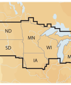
Introducing the Navionics+ Regions Electronic Marine Charts, the ultimate solution for boaters and anglers seeking precise navigation and enhanced fishing experiences. At USA Cheap Ammo, we are committed to providing high-quality products that elevate your time on the water. These electronic marine charts are designed specifically for chartplotters, offering detailed mapping and essential features that ensure you navigate with confidence.
Key Features:
- Comprehensive Coverage: Navionics+ charts provide extensive coverage of coastal and inland waters, ensuring you have access to the most up-to-date information for your boating and fishing adventures.
- High-Resolution Mapping: Experience crystal-clear, high-resolution maps that display depth contours, underwater structures, and navigational aids, allowing for precise navigation and fishing.
- SonarChart™ Layer: Benefit from the unique SonarChart™ feature, which provides detailed bathymetric maps created from sonar data, helping you locate fish and understand underwater terrain.
- Daily Updates: With Navionics+, you receive daily updates to ensure your charts are always current, giving you the latest information on water depths, hazards, and more.
- User -Friendly Interface: Designed for easy integration with your chartplotter, these electronic charts are simple to use, allowing you to focus on your fishing and boating activities.
Benefits: Choosing Navionics+ Regions Electronic Marine Charts means investing in a reliable navigation tool that enhances your boating and fishing experience. With their comprehensive coverage and high-resolution mapping, you can trust that these charts will provide the information you need for safe and successful outings. This translates to more productive fishing trips and a greater understanding of the waters you navigate.
Product Applications: Navionics+ charts are ideal for various boating and fishing scenarios, including:
- Coastal Navigation: Perfect for navigating coastal waters, ensuring you avoid hazards and find the best fishing spots.
- Inland Fishing: Ideal for lakes and rivers, providing detailed information on underwater structures and depth changes.
- Recreational Boating: Enhance your overall boating experience with accurate navigation and mapping features.
Handling and Storage Guidelines: To maintain the quality and functionality of your Navionics+ charts, follow these guidelines:
- Regular Updates: Ensure you regularly update your charts to access the latest information and features.
- Proper Storage: Store your chartplotter in a dry, cool place when not in use to prevent damage from moisture or extreme temperatures.
- Careful Handling: Handle your chartplotter with care to avoid scratches or damage to the screen.
Conclusion: In summary, Navionics+ Regions Electronic Marine Charts are an essential tool for any angler or boater looking to navigate with confidence. With their comprehensive coverage, high-resolution mapping, and user-friendly interface, these charts ensure you can achieve optimal performance from your chartplotter. Don’t miss out on the opportunity to enhance your fishing success—buy ammunition online and grab your Navionics+ Regions Electronic Marine Charts today from USA Cheap Ammo. Be sure to check out our special offers and promotions for the best deals on marine accessories and more!
Be the first to review “Navionics+ Regions Electronic Marine Charts for Chartplotters”
Related products
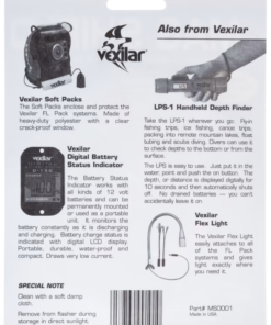
Sonar Accessories
Sonar Accessories

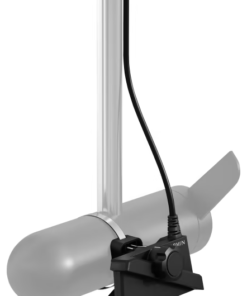
Sonar Accessories
Sonar Accessories
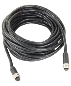
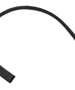
Humminbird Ethernet Dongle 700 Quick Disconnect Adapter Cable for 700, 800, 900 & 1100 Series
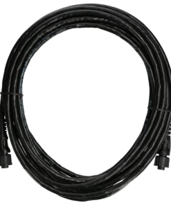
Sonar Accessories
Sonar Accessories
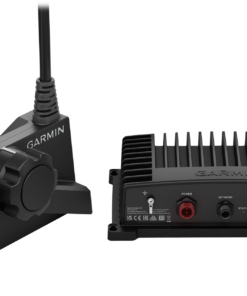
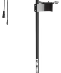
Humminbird MEGA 360 Imaging Transducer Kit for Minn Kota Trolling Motors
Sonar Accessories
Reviews
There are no reviews yet.